San Fernando Valley Neighborhood
Welcome to Arleta, a residential neighborhood in the northeastern San Fernando Valley of Los Angeles, bordered by Pacoima, Panorama City, and Sun Valley.
Arleta is a residential neighborhood in the northeastern San Fernando Valley of Los Angeles. It is bordered by Mission Hills and North Hills on the north, Sun Valley on the east, Pacoima on the northeast, and Panorama City on the west, placing it within one of the Valley's most established residential corridors. The area that became Arleta was annexed by Los Angeles in 1915 and remained semirural for decades, with farmhouses and ranches spread across the flat valley land. After World War II, residential development filled in the neighborhood as the Valley's housing boom took hold. Arleta was once part of Pacoima; in the 1960s, residents of the western half petitioned the city to form their own community, and Arleta was officially recognized as a separate neighborhood in 1968. The neighborhood's economic history followed the broader Valley's arc. Manufacturing jobs supported many households through the post-war decades, and when factory employment declined in the 1980s, Arleta's population shifted and became more diverse. Today the community has a large Latino population and a strong sense of local identity. Housing in Arleta is predominantly single-family, with many mid-century homes and a smaller share of apartments and multifamily buildings, giving the neighborhood a dense but house-centered feel typical of the eastern San Fernando Valley. Arleta is served by the Los Angeles Unified School District, with campuses including Arleta High School, Beachy Elementary, and Canterbury Avenue Elementary. Recreation centers such as Branford Recreation Center and neighborhood parks provide sports fields, playgrounds, and community programs, while nearby Panorama City and Pacoima add larger parks and shopping. The neighborhood's location near the 5 and 170 freeways keeps the rest of the Valley and the Los Angeles basin within reach.
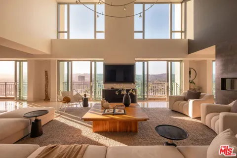
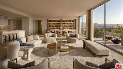
Arleta is in the northeastern San Fernando Valley region of Los Angeles. The neighborhood is bordered by Mission Hills and North Hills to the north, Sun Valley to the east, Pacoima to the northeast, and Panorama City to the west.
Arleta was once part of Pacoima. In the 1960s, residents of the western half petitioned the city to form their own community, and Arleta was officially recognized as a separate neighborhood in 1968.
Arleta is served by the Los Angeles Unified School District. Local campuses include Arleta High School, Beachy Elementary, and Canterbury Avenue Elementary, along with other district and charter options across the Valley.
Branford Recreation Center is Arleta's main recreation hub, with sports fields, tennis courts, a swimming pool, and picnic areas. The neighborhood also has Devonshire Arleta Pocket Park and Sheldon Arleta Park.
City Guide
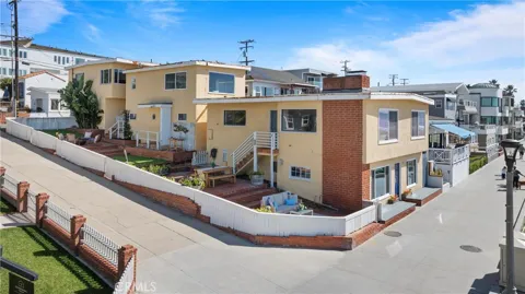
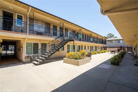
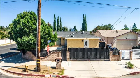
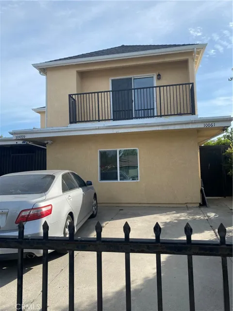
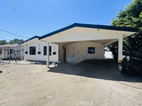
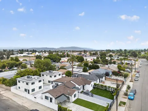
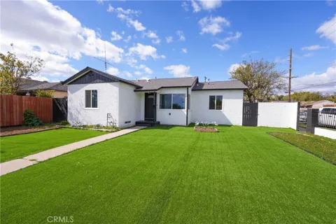
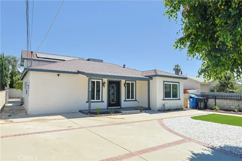
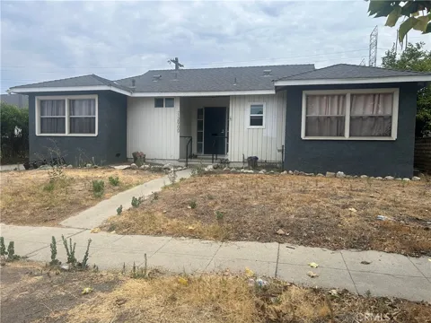
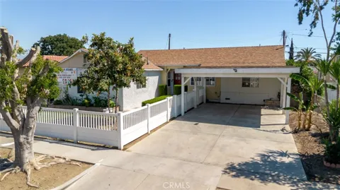
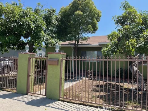
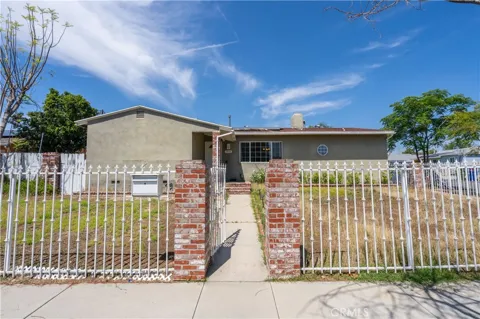
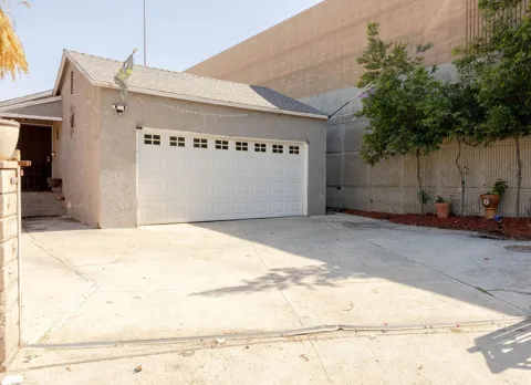
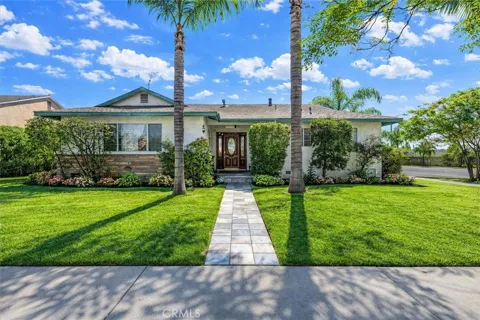
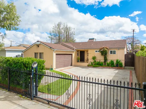
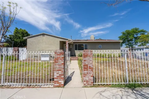
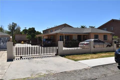
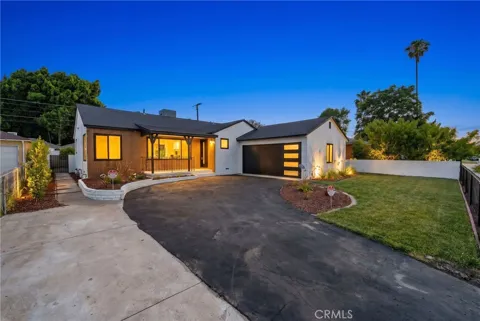
Arleta's housing is predominantly single-family, with a large stock of mid-century homes built during the San Fernando Valley's post-war expansion, along with a smaller share of apartments and multifamily buildings. Many homes sit on standard Valley lots, and the neighborhood has a dense but house-centered character typical of the northeastern Valley. The area's history as farmland turned suburbia is visible in its gridded streets and modest ranch-style and bungalow homes. The market is shaped by proximity to the 5 and 170 freeways and by demand for single-family living within the city of Los Angeles.
Arleta sits at the center of a cluster of established Valley neighborhoods. Mission Hills and North Hills lie to the north, Sun Valley to the east, Pacoima to the northeast, and Panorama City to the west. The neighborhood itself is a compact residential district without a major commercial downtown, relying on the retail corridors of Panorama City, Pacoima, and North Hills for shopping. Its boundaries are largely street-defined, and the community's identity is tied to its schools, parks, and the 1968 separation from Pacoima.
Life in Arleta is family-oriented and community-centered, anchored by local schools, recreation centers, and neighborhood parks. Branford Recreation Center and nearby facilities provide youth sports, swimming, and programs that draw residents together. The neighborhood's largely Latino population is reflected in its markets, restaurants, and community organizations. Residents do much of their shopping along the nearby commercial corridors of Panorama City and Pacoima, while the 5 and 170 freeways open access to jobs across the San Fernando Valley and greater Los Angeles.
Arleta is served by the Los Angeles Unified School District. Campuses in and around the neighborhood include Arleta High School, Beachy Elementary, and Canterbury Avenue Elementary, among others. The high school and its programs are a central part of community life, and the district's magnet and charter options extend choice across the Valley. Nearby community colleges, including Los Angeles Valley College and Mission College, provide higher-education pathways.
Arleta sits near the junction of two major freeways: Interstate 5 along the east and State Route 170 to the west, giving commuters direct routes across the San Fernando Valley, into the Los Angeles basin, and north to Santa Clarita. Major surface streets such as Van Nuys Boulevard, Arleta Avenue, and Branford Street cross the neighborhood and connect it to Pacoima, Panorama City, and North Hills. The neighborhood is automobile-oriented, with regional employment centers in Burbank, Glendale, and the western Valley within commuting range.
Recreation in Arleta centers on Branford Recreation Center, which offers sports fields, tennis courts, a swimming pool, and picnic areas, along with neighborhood parks such as Devonshire Arleta Pocket Park and Sheldon Arleta Park. Nearby Panorama Recreation Center and the Ritchie Valens Recreation Center in Pacoima add larger facilities, and the broader San Fernando Valley offers access to the Hansen Dam Recreation Area and the Angeles National Forest within a short drive.
MARKET SNAPSHOT
How homes have been selling here over the last 90 days.
Market data reflects closed sales over the last 90 days and is provided for informational purposes.
For sale
Handpicked properties hitting the scene in your area.
For sale
Handpicked properties hitting the scene in your area.
For sale
Handpicked properties hitting the scene in your area.
BROWSE BY ZIP
Browse listings by postal code in this area.
200 South Pacific Coast Hwy Redondo Beach, CA 90277 CA, Redondo Beach 90277